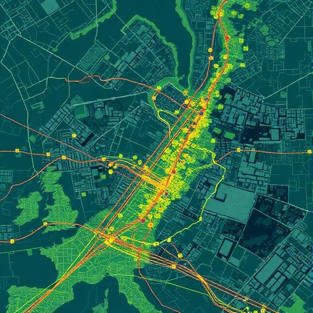
A living map of the city
AI-powered infrastructure intelligence for smarter, safer cities
Building the cities of tomorrow, today
STS City transforms urban and highway road management by providing timely, actionable insights through AI.
Enable data-driven decisions, streamline operations, and enhance safety across your road network with live maps of all assets. Powered by scalable data collection.
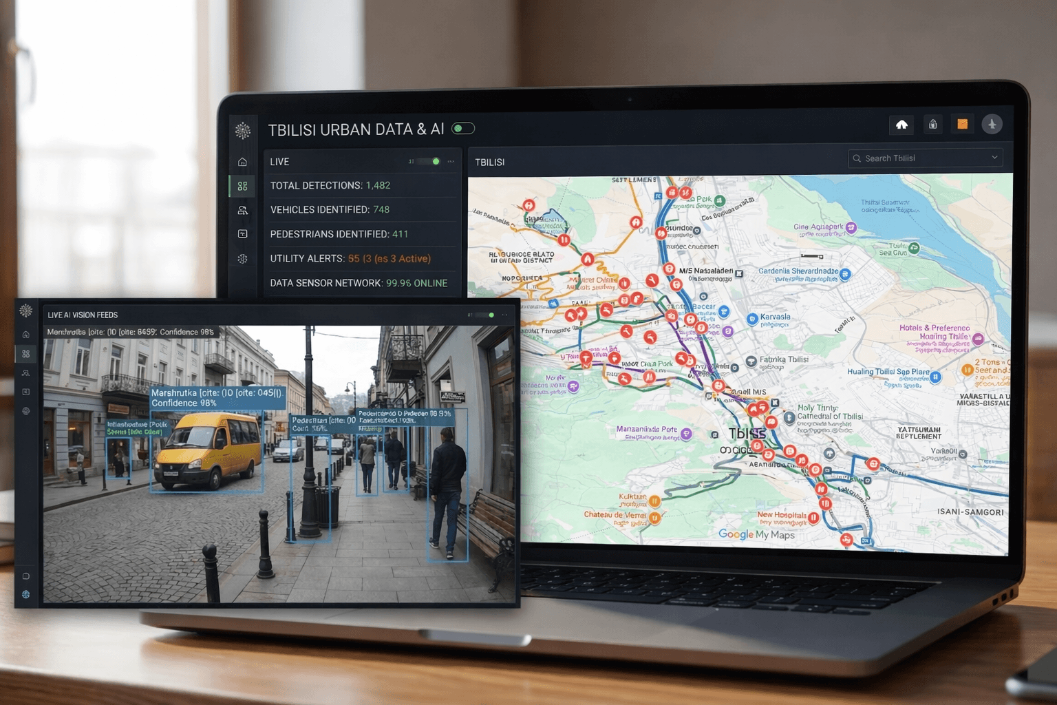
What we track
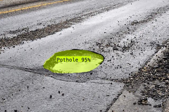
Road Condition
Leverage frequently updated road damage data for swift road repair and strategic, long-term infrastructure planning. Gain control of your roads with actionable insights.
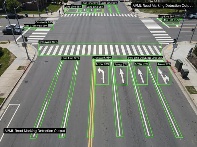
Road Markings
Automate road marking management through instant classification and damage checks. Keep your road markings in top condition.
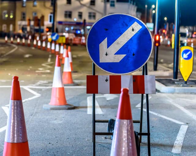
Traffic Signs
Optimize traffic sign management by monitoring quality and compliance at a glance. Keep inventory on track with real-time data.
Asset Management
Effortlessly catalog and manage assets, from street road markings to traffic signs, with frequently updated data and insights.
The Platform for:
Cities & Municipalities
Streamline urban mobility and planning with key data on roads and assets, enhancing city maintenance operations.
Road Transport Authorities
Improve infrastructure oversight with scalable live maps of road assets, promoting safe and efficient road networks.
STS City unlocks new possibilities for increased operational efficiency.


FAQ
Transform your city's infrastructure
See how STS City can help you make data-driven decisions and streamline road management across your network.